Siskiyou Chapter Society of American Foresters
Medford, Oregon
February 21, 2006 Meeting Presentation
Lessons
from B&B, Biscuit, & Babyfoot
Lake:
Why Wilderness Doesn’t Work in the West
![]()
Bob Zybach introduces "co-presenter" Bill Hagenstein on the screen via Internet to his left, and Oregon Websites and Watersheds Project, Inc. (ORWW) media technician Josh Meredith (seated) to his right, at the beginning of his talk at Habanero's Restaurant in Medford, Oregon, February 21, 2006 (video capture: J. Meredith, ORWW).
Presentation by
President, NW Maps Co.
Program Manager, Oregon Websites and
Watersheds Project, Inc.
This website is a report of a presentation given by Dr. Bob Zybach to the Siskiyou Chapter of the Oregon Society of American Foresters (SAF) in Medford, Oregon on February 21, 2006. The presentation was co-sponsored by NW Maps Co. and Oregon Websites and Watersheds Project, Inc. (ORWW), and was developed entirely from Internet files obtained from those two sources. This report contains the same 54 slides (with new captions), five video clips, and six QTVR panoramas in the same order used during the presentation. It also contains a new video clip ("Introduction"), new text (same ideas, arguments, "jokes", and data as in the talk), and links to the primary sources of these files and to other online materials of related interest. This assemblage of Internet files in a variety of digital media types was also intended to demonstrate the utility of using such resources for classroom presentations, formal study plans, independent research, and as an economical and efficient method to archive, retrieve -- and even enhance -- historical information.
["Introduction" video: 4:38 min., 19 mb., MPG]
The purpose of the presentation was to document and interpret the predicted destruction of much of western Oregon’s old-growth and Wilderness forests by catastrophic wildfire during the past 20 years, and to offer short-term and long-term recommendations for reversing this trend. Historical evidence and current technology are used to present the argument that "passive management" of western forests and grasslands - as typified by USFS "LSR" and Wilderness forests of western Oregon - has resulted in an unprecedented series of catastrophic wildfires in those areas via invasive brush and conifer infestations. "Active management" – including logging, planting, weeding, tilling, pruning, harvesting, and controlled burning, and based on an objective-driven management plan - is promoted as the only demonstrated method of reversing this trend.
Concluding recommendations (current ORWW proposals):
1) Conduct a public, peer-reviewed, long-term (30-year), landscape-scale (40,000 acre) experiment -- within the existing framework of a Biscuit Burn forest management study already in place on USFS land (Bormann et al. 2004) -- to test the competing predictions of the Beschta, Donato, Franklin "reduce logging" scientists, with the Buckman, Newton, Sessions "increase logging" scientists, and the Anderson, Boyd, Zybach "Indian-type burning" scientists.
2) Develop accredited online Forest Sciences curricula for Oregon middle school, high school, and community college students that use actual events and locations in Oregon forests as classrooms and websites as text books; as typified by a number of ORWW statewide projects that have been available online for several years.
[This website requires use of "QTVR" software to visit the upper Chetco River basin (Kalmiopsis Wilderness) in the mid-1930s, and the B&B Burn and Babyfoot Lake today. Free viewing software can be quickly and safely installed at this link: QTVR.]
|
Program Slides |
Titles, Summaries, & Related Links |
Presentation Files |
 |
Introduction: Picking Up from the Clinton Plan Theme of talk regards the differences between passive and active management, with forested Wilderness areas serving as a focus. Bill Hagenstein is introduced via Internet as "co-presenter": both presenters document past predictions of catastrophic forest wildfires with the Clinton Plan. |
|
 |
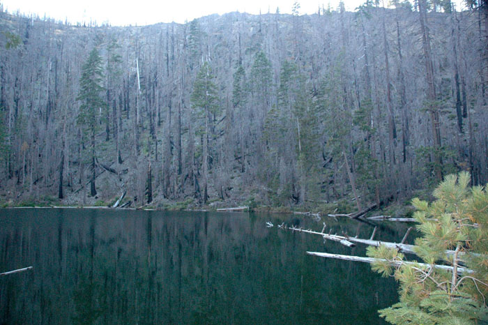
B&B Complex Fires: Recreational Values of Active Management Snags pose serious threats to human safety from fire and windfall, are unsightly and messy, and also signal degradation and loss of campgrounds, vistas, pasturage, diversity of wildflowers, berries, meadows, and prairie wildlife: select logging and regular burning needed. |
|
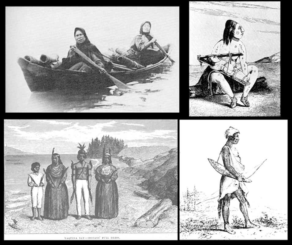 |
Silver-Biscuit Complex Fires: Cultural Values of Active Management Chetco Nation, as it may have appeared in the mid-1700s, is inferred from Osborne fire lookout photos taken in the mid-1930s and converted to QTVR for this presentation: logging followed by regular fire needed. Additional benefits of reduced wildfire risk and increased wildfire control. |
|
 |
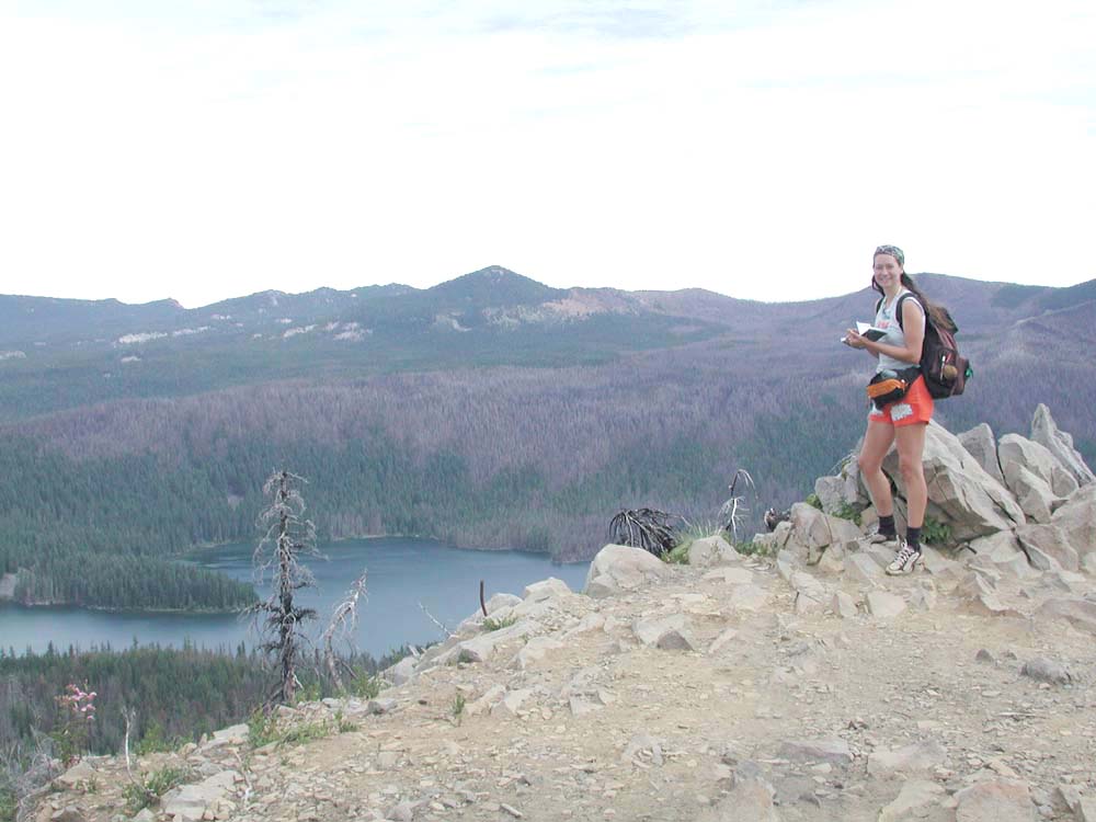
Babyfoot Lake Botanical Area: Ecological Values of Active Management Brewer spruce, protected in this Botanical reserve since 1963, were killed in the Biscuit Fire. Snags threaten the remaining spruce: select logging and traditional plant management methods needed. Additional benefits of visitor safety, enhanced aesthetics, wildfire control, and increased vascular plant biodiversity. |
|
 |
Recommendations: Applied Sciences Require Management Objectives & Informed Citizens 1) Long-term, landscape scale research needed to resolve conflicts, learn options, improve management; 2) Development of accredited, statewide online forest scince curricula needed for better informed voters and more knowledgable workforce. |
|
|
|
Q&A: How soon can recommended long-term research proposal begin? What are the best grade levels to teach Forest Sciences? When will next catastrophic wildfire occur? |
Homepage MPG |
“Most of the township is covered with such a dense growth of buckthorn, manzanita, lilac, madrona, chinquapin, and sweet acorn that no grasses can thrive. A small area on what is known as Peavine Mountain, in sec. 21, sustains a growth of native peavine sufficient to graze a few head of cattle for about six weeks. It is an historical fact that in the days immediately following the occupation of this country by the Indians this country was all covered with a fine growth of native grasses and practically no underbrush. The Indians accomplished this by setting fire to the vegetation on one side of the river one year and the other side the next year. Thus they kept the country open and clean and were never in danger of a forest fire.”
From the “General Description” for Tsp.
34 S., Rng. 8 W.
by Norman Price, US GLO Surveyor, ca. 1900
![]()
© 2006 NW Maps Co.